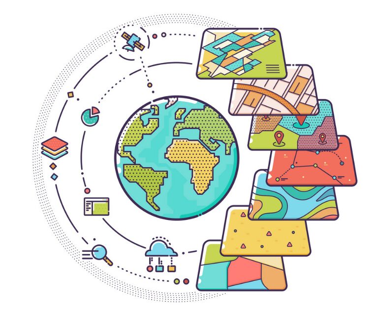
Over the past two decades, with the help of GIS technologies for disaster management, there has been a shift from disaster response to reducing disaster risks. Natural disasters are currently seen as the result of a complex interaction of hazardous events and the ability to cope with a dangerous activity, such as an earthquake or flood.
Due to the increased impact of natural disasters on human society, governments are increasingly recognizing the need to use GIS applications disaster management to take measures to increase the resilience of the population. Governments also began to understand the fact that the impact of natural disasters can be controlled. Although natural hazards cannot be curbed, population vulnerability can be reduced. The disaster management cycle is a conceptual model that defines the various stages and actions for disaster management. Multiple models are used. Disaster management actions are divided into several stages:
- Before natural disaster (risk assessment, mitigation, and prevention, preparedness)
- Emergency actions (warning, rescue and emergency operations, damage and needs assessment)
- After natural disaster (restoration and reconstruction).
To prevent the negative consequences of hazardous events from turning into natural disasters, national governments need to know the characteristics of natural disasters in their countries: what dangerous phenomena are most likely to occur, where, when, and with what consequences? Conducting risk assessments is an essential step in deciding on measures taken to mitigate disaster prevention. GIS applications disaster management also helps in prioritizing: where is the highest vulnerability? Governments also use GIS remote sensing to create early warning systems for the population so that the necessary actions (emergency assistance and rescue operations, evacuation, etc.) are taken as quickly as possible. They also contribute to raising public awareness of disaster risks and how to respond to extreme situations.
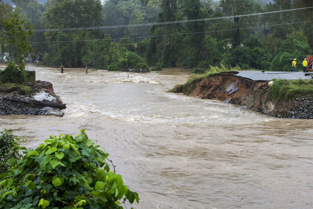
GIS disaster management for disaster alert and disaster relief

img source: imgix.net
At the onset of a natural disaster, government structures must have a common operational picture that all structures involved in rescue and emergency relief operations could use. Here’s where GIS applications disaster management comes into play. With GIS disaster management, the overall picture is based on geospatial information, includes
- Damage assessment
- Assessment needed for medical care, etc.
Emergency relief and rescue operations can be coordinated, and rehabilitation and reconstruction work can be planned based on this overall operational picture. In recent years, the international community affected by natural disasters has tried to implement programs based on the “concept of the restoration of better quality facilities.” The main feature of this is that reconstruction aims to restore better quality societies than before the natural disaster. The same goal is pursued in rebuilding societies in areas less prone to natural disasters and in preventing future events with the same devastating consequences by strengthening community resilience and implementing mitigation and risk prevention measures. Disaster management should also include:
- Transparency;
- Accountability;
- Assessment;
- Audit.
These four concepts are equally crucial for both donors of disaster relief funds and ultimate beneficiaries. They are also vital for understanding how best to respond in the future to natural disasters.
GIS disaster management for risk assessment data requirements
The Hyogo Framework for Action emphasizes the importance of knowledge about hazards, physical, social, economic and environmental vulnerabilities to natural disasters experienced by most societies, as well as how risks and vulnerabilities change in the short and long term so that based on this knowledge could take action. Therefore, we need information about hazardous events that can occur: their location, elements that fall into the risk zone, when uncertain events turn into events of natural disasters, the vulnerability of society, and critical infrastructure that fall under the effects of natural disasters.
GIS disaster management for risk reduction measures
img source: amazonaws.com
Having received information on natural disaster risks, state organizations should assess the likelihood of mitigation of these risks and prevention of severe consequences of possible hazardous events. From a risk assessment, it should be clear where society is most vulnerable to hazards that may occur. Priorities can then be set to avoid, reduce, transfer, or retain risk. Possible measures may include:
- Restriction of residence in areas prone to natural disasters,
- Tightening building codes so that buildings can withstand earthquakes and storms,
- Strengthening of flood protection structures,
- Logging restrictions to prevent landslides,
- And outreach to the public to inform about natural disaster risks and actions in the event of a natural disaster.
- In disaster-prone areas with a high degree of urbanization, spatial planning is based on geospatial data analysis software.
- Risk avoidance aims to eliminate risk by changing the hazard
- Risk reduction aims to mitigate risk by changing vulnerability to damage or destruction.
- Risk transfer aims to outsource or insurance, as well as changing the financial impact of hazards on individuals and the community
- Risk-retention aims at accepting risk and budget to cover expected losses.
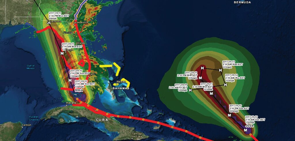
GIS disaster management for early warning systems
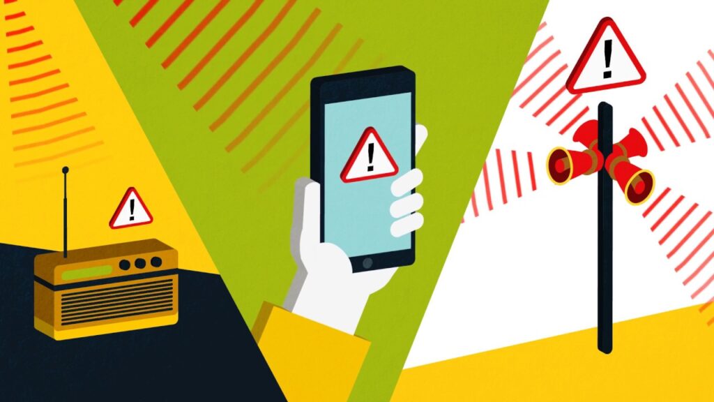
img source: ytimg.com
Despite measures to reduce the risk of natural disasters, natural disasters can still occur. Therefore, the creation of early warning systems should be an integral part of disaster management so that the necessary action takes place as quickly as possible. Early warning systems are designed to provide timely and useful information through authorized institutions, allowing individuals exposed to hazardous events to take measures to help them avoid or reduce risk, and to prepare for an effective response. Early warning systems include the following components:
- Understanding and mapping a hazard;
- Monitoring and forecasting of upcoming events;
- Processing and disseminating understandable warnings to political authorities and the public; and
- Making appropriate and timely actions in response to alerts.
Thanks to the increased availability and quality of GIS tech, like Aspectum, remote sensing data made it possible to map various types of hazardous events and track dangerous events. Technological developments have increased the availability, reliability, and accuracy of short-term disaster warnings, especially in the case of tropical storms, forest fires, heavy rains, floods, volcanic eruptions, tsunamis, and crop destruction. Besides, GIS application GIS disaster management and global remote sensing
warning systems for disaster coordination were created to support disaster preparedness management.
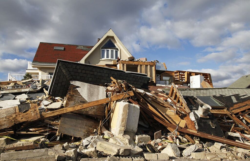
GIS disaster management for disaster response and normalization
img source: nextavenue.org
When a natural disaster occurs, urgent measures must be taken to assess damage and needs, as well as to plan and coordinate rescue and emergency operations. This is the provision of emergency services and government assistance during or immediately after a natural disaster to save lives. For this stage, it is imperative to have an overall operational picture based on geospatial GIS information indicating the location of the damage, consequences, and needs that require an immediate response.
The first stage is followed by the normalization of the situation in the affected area. The stage of normalizing the situation or the stage after a natural disaster requires the restoration and, where possible, improvement of the facilities, livelihoods and living conditions of the communities affected by the natural disaster, including work to mitigate the risk factors of natural disasters. At this stage, more attention should be paid to the structural needs of the affected population, which must be addressed more efficiently and effectively. GIS data is used to determine the location of restoration and reconstruction works.
GIS disaster management for accountability in the normalization phase
img source: isemag.com
Based on the amount of assistance required to meet the needs of the affected population, it follows that disaster management should also be found on transparency, accountability, assessment, and audit, like any actions with public funds. Once a data structure includes remote sensing and other GIS data, it can be used for transparency and accountability by providing information to donors and beneficiaries. This way GIS disaster management can offer guarantees that the funds allocated for the elimination of natural disasters were spent to the intended purpose, efficiently and effectively. Early warning systems include the following components:
- Understanding and mapping a hazard;
- Monitoring and forecasting of upcoming events;
- Processing and disseminating understandable warnings to political authorities and the public; and
- Taking appropriate and timely actions in response to alerts.
Thanks to the increased availability and quality of application GIS disaster management, remote sensing data made it possible to map various types of hazardous events and track dangerous events. Technological developments have increased the availability, reliability, and accuracy of short-term disaster warnings, especially in the case of tropical storms, forest fires, heavy rains, floods, volcanic eruptions, tsunamis, and crop destruction. Also, GIS systems and global warning systems for disaster coordination were created to support disaster preparedness management.