All over the world, environmental problems are now receiving increased attention, which is not surprising. The rapid development of human economic activity has created all the prerequisites for a real possibility of an ecological crisis. In this regard, the direction associated with the quantitative assessment of anthropogenic impacts on the environment, the creation of systems for a comprehensive assessment of the state of the ecological situation, as well as modeling and forecasting the development of the situation, acquires great importance. The creation of such systems is currently impossible without the use of modern geospatial technologies.
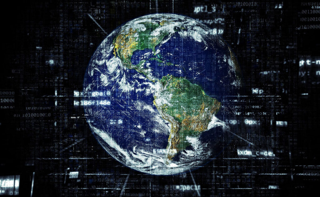
Such technologies imply all modern tools that allow for geographic mapping and analysis of changes in the Earth surface and human societies. With the development of modern space and computer tech, the possibilities they can offer are endless. Modern satellites enable high-resolution Earth imagery. Computers enable storage and transfer of this imagery thanks to the associated digital software, maps, and data sets on socioeconomic and environmental phenomena. This allows for assembling geospatial data into a layered set of maps for further analysis and sharing. To see how geospatial data can be used for the benefit of different industries, visit here.
In this article, we will focus on the role geospatial technologies play in environment preservation. But first, let’s briefly go through the types of geospatial technologies that are currently available for use.
Types of Geospatial Technologies
Source: smartcity.press
Geospatial technologies fall into the following categories:
- Geographic Information Systems. GIS is a set of software tools for georeferenced data mapping and analyzing. GIS is used for geographic patterns detection in other data, such as sub-optimal water access or disease clusters resulting from toxins.
- Remote Sensing. This concerns images and other data collected from satellites, aerial vehicles, and sensor platforms. For instance, modern commercial satellites are able to provide images with one-meter or smaller detailing, which means more accurate and precise monitoring.
- Global Positioning System. GPS is a constellation of satellites with a specific purpose of providing precise coordinate locations initially developed for the military, but now used by civilians for different purposes on a daily basis.
- Internet Mapping Technologies. These imply software programs set to change the way geospatial data is viewed and shared. The most famous example of such tools would be Google Earth. And with the developments in user interface design, such tools are becoming easier to use hence making them more available to a much wider audience.
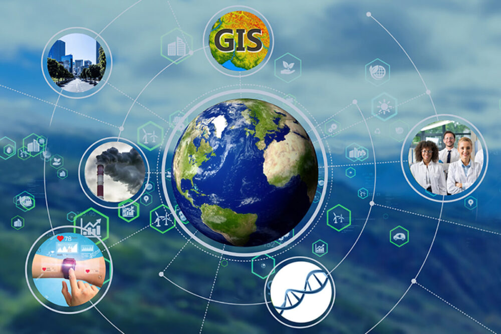
Geospatial Technologies and Sustainability
Source: aithority.com
Geospatial technologies enable experts to create maps that display all kinds of changes in the earth’s landscapes. They can draw out countries’ boundaries, streets and homes, hydrology, forests, farmlands, and plots of land that are under the threat of floods or other natural disasters.
Geospatial technologies are successfully used to create maps of key environmental parameters. Later, upon receipt of new data, these maps are used to identify the scale and rate of degradation of flora and fauna. When entering data from remote sensing, in particular satellite, and conventional field observations, they can be used to monitor local and large-scale anthropogenic impacts. The assessment of the state and rate of degradation of the natural environment can be carried out using the test areas identified on all map layers.
With the help of GIS, it is also convenient to model the impact and spread of pollution in the atmosphere and along the hydrological network. The results of model calculations can be superimposed on natural maps, such as vegetation maps, or on maps of residential areas in a given area. Consequently, it is possible to quickly assess the immediate and future consequences of such extreme situations as the spill of oil and other harmful substances, as well as the impact of permanent point and area pollutants.
With the expansion and enhancement of environmental protection measures, one of the main areas of geospatial technologies application is tracking the consequences of actions taken at the local and regional levels. The sources of updated information can be the results of ground surveys or remote observations from aerial vehicles and from space. The use of GIS is also effective for monitoring the living conditions of local species, identifying causal chains and relationships, assessing the favorable and unfavorable consequences of environmental protection measures taken on the ecosystem as a whole and its individual components, making operational decisions on their correction depending on changing external conditions.
All of this allows for advanced analysis on how different human activities impact the environment. Having the ability to detect and assess such impacts, people can take action to mitigate the adverse effects, hence shifting towards sustainability in different spheres.
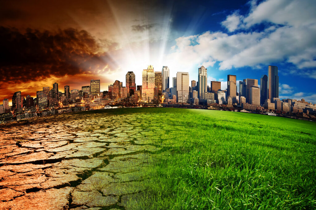
Geospatial Technologies and Climate Change
Source: fairobserver.com
Geospatial data is very useful at all levels, from global to local, and can be applied to many different use cases, including the following in terms of climate change monitoring:
- Climate modeling and weather forecasting (monitoring of local weather, seasonal phenomena or climate systems (eg El Niño effect)
- Tracking of urbanization, as well as emissions of gases and / or pollution from cities and industrial facilities
- Natural disasters and mitigation effects monitoring
- Deforestation and land use mapping
- Power use visualization
- Carbon footprint analysis
One of the biggest issues regarding climate change is currently its impact on transportation infrastructure in a variety of ways. For instance, as the average temperature on Earth increases, it accelerates the infrastructure degradation: heavier precipitation increases the risk of roads flooding, sea level rise increases the chance of infrastructure inundation, and storms occurrence and intensity may lead to severe infrastructure damage.
That is why transportation companies already have to consider the possibility of events related to climate change when planning to minimize impacts and increase infrastructure resilience. And to do so, they are using GIS tools for the identification of transportation infrastructure vulnerabilities and for evaluating potential adaptation strategies in addressing climate conditions that are yet to come. For instance, they can decide on the best routes for road construction and mapping, lowering the chance of its damage by climate-related events.